Friendly interface
Easy to use graphical user interface and intuitive workflows.
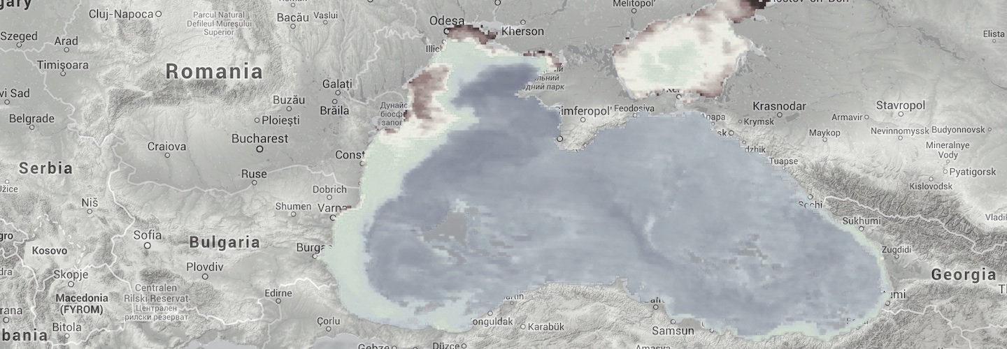
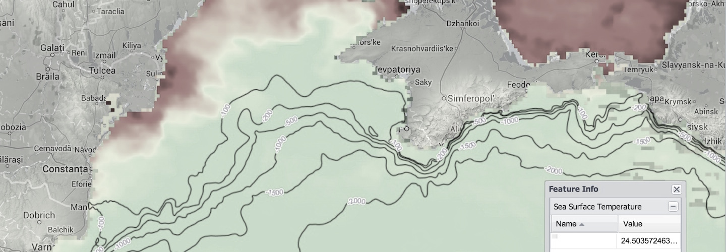
10 000+ satellite derived data layers
The product portfolio includes: Sea surface temperature, chlorophyll concentration, diffuse attenuation coefficient, total suspended matter, etc.
Modern architecture
ESPOSS architecture design is driven by service-oriented architecture design principles, and use open standards from IETF, W3C, OASIS, ISO/TC 211, and OGC.
Open source based
ESPOSS GeoPortal is built completely with free and open source software.
Modular and scalable
The geoportal is based on a modular and scalable software architecture that enables an efficient deployment, control, and management of active services.
Network services
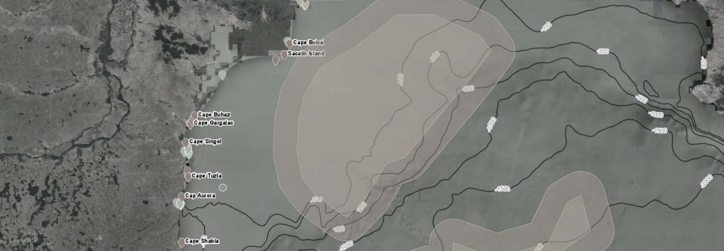
Implements Open Geospatial Consortium (OGC) standards for data retrieval (WMS, WCS, WFS) and server-side processing (WPS).
Active community
Fast growing international user community.
Powerful visualizations
Effective data visualization methods, suitable for analysis of big volumes of multi-temporal data.
Server-side processing services
Currently the service has interfaces for the following types of geospatial processing functions: buffer, clip, resample, profile and raster algebra.